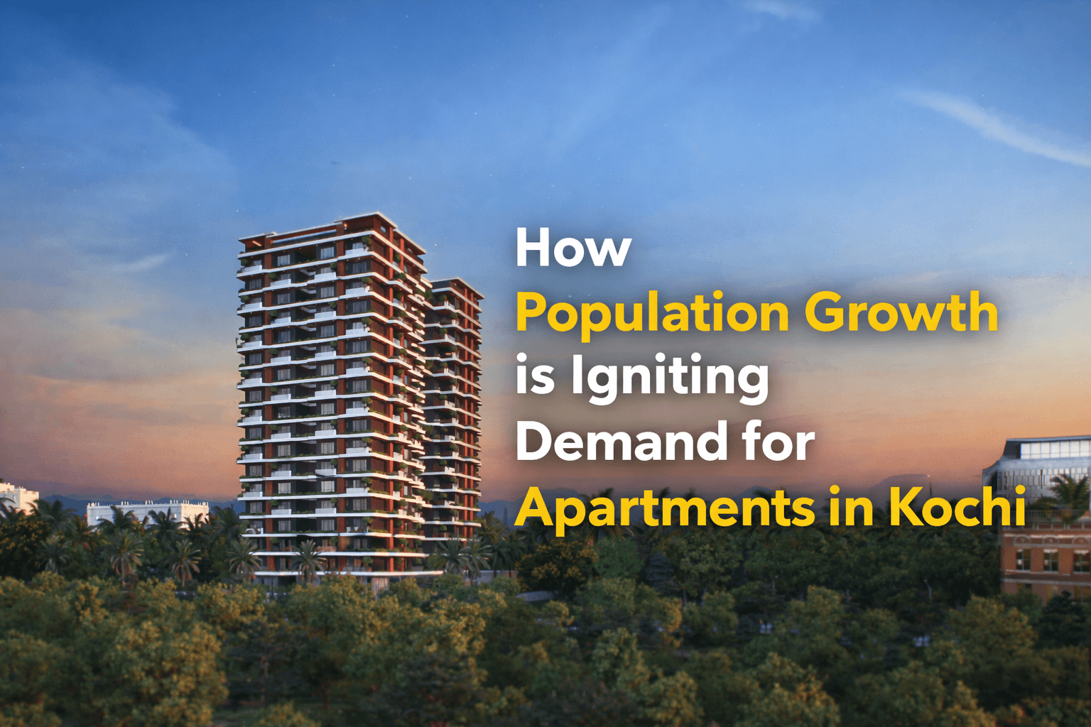
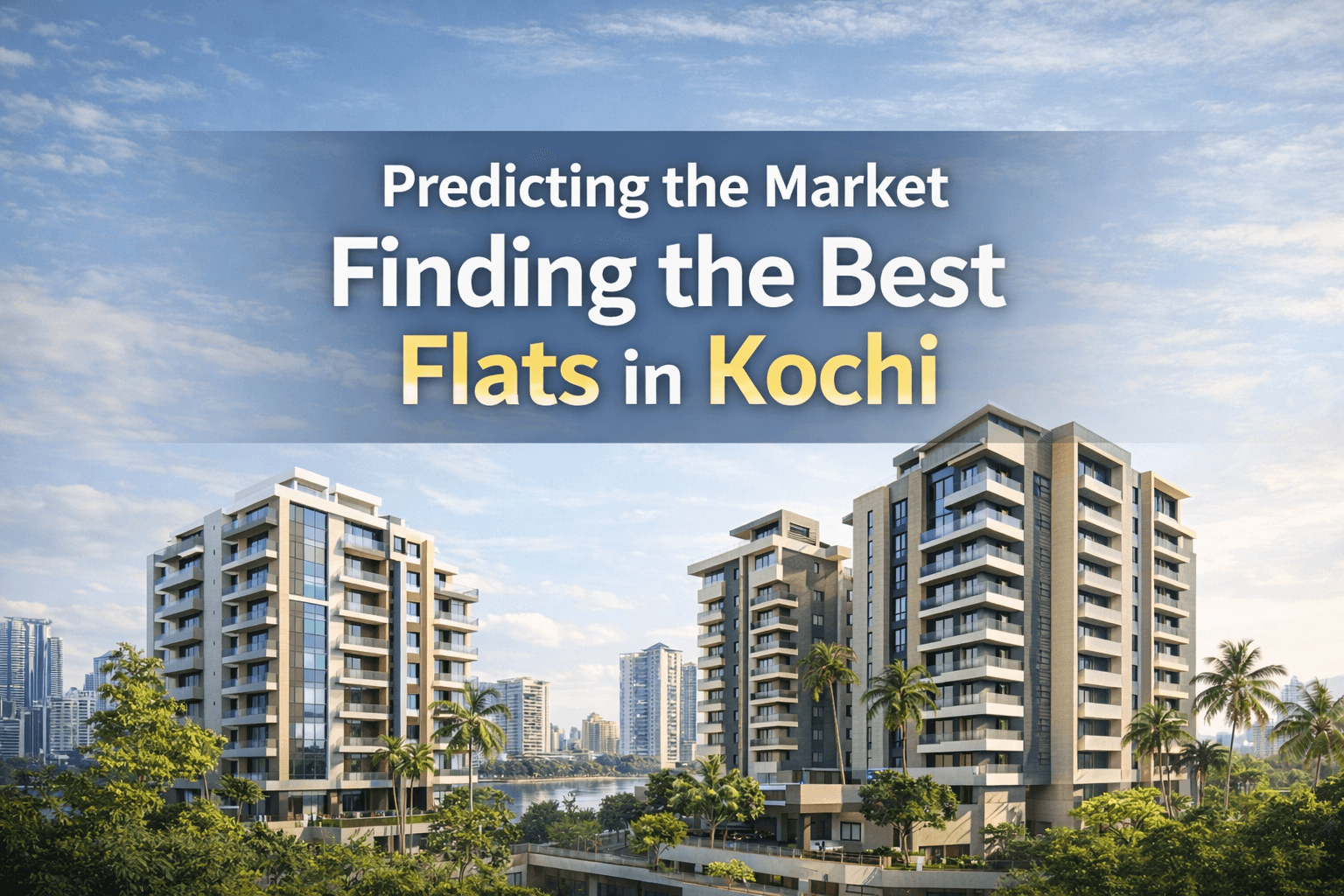
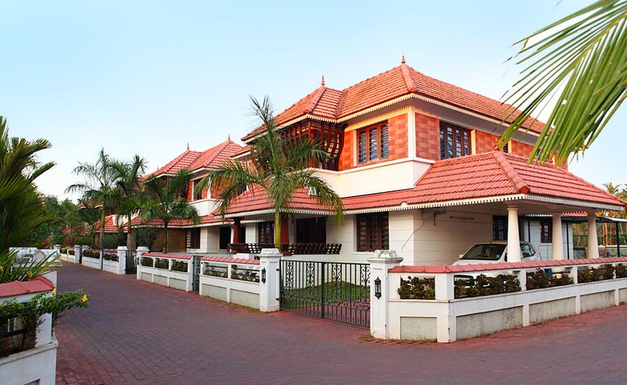
How Satellite Imaging Improves Apartment Projects in Kerala
7 Min Read
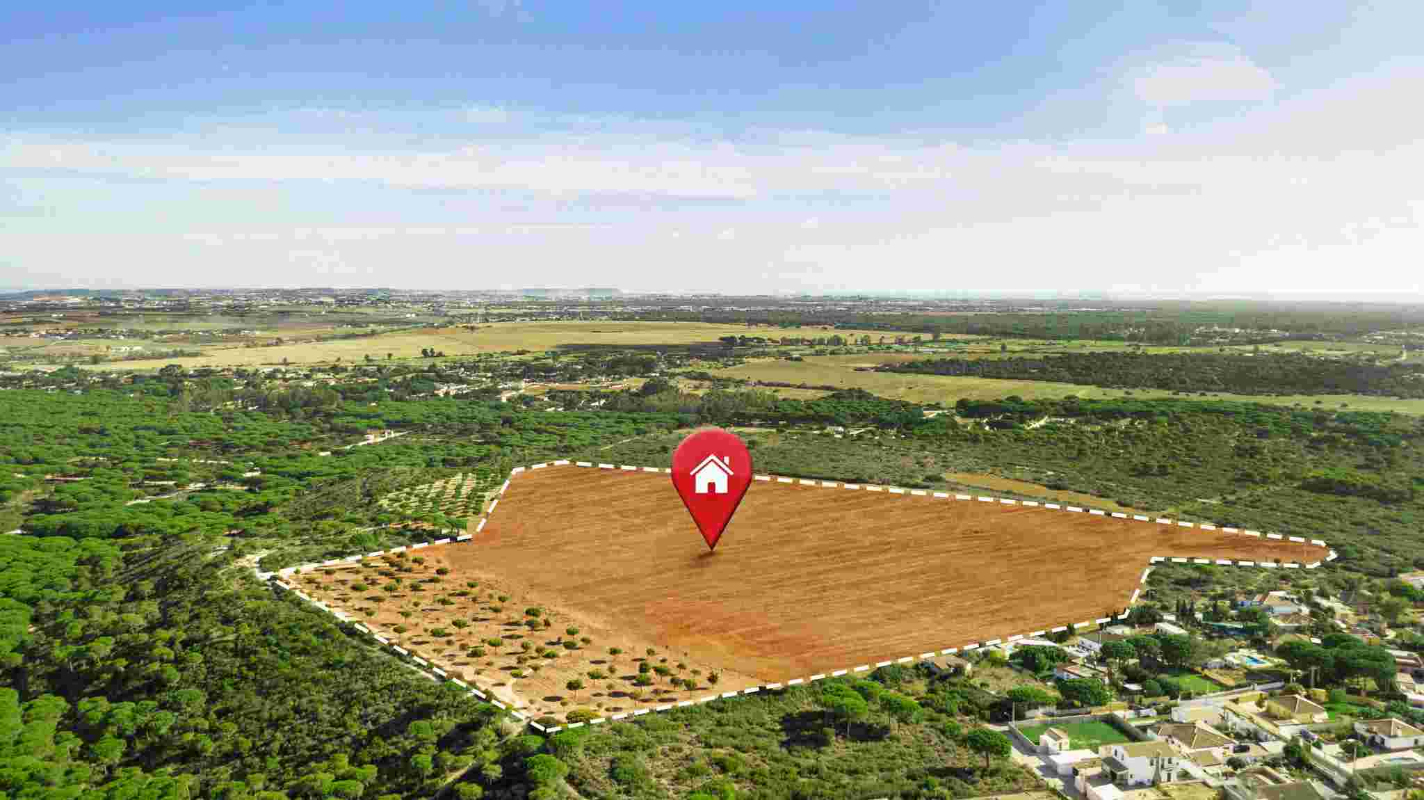
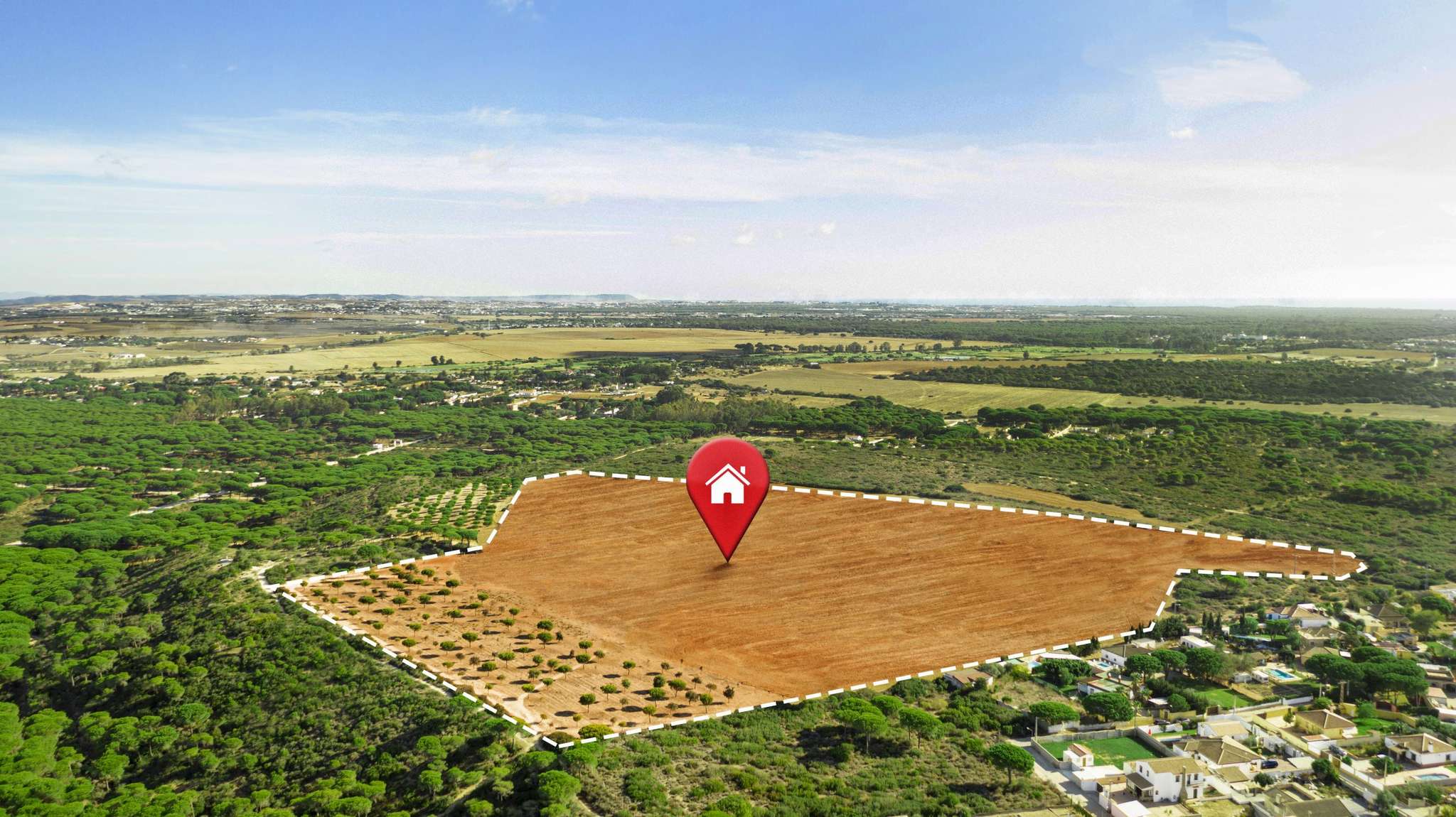
When people think about buying an apartment, they usually imagine brochures, site visits, and attractive model homes. What they don’t always realize is how much work happens behind the scenes before those brochures are printed or the foundation is even laid. In the case of modern apartment projects in Kerala, one of the most powerful tools helping real estate developers make smarter choices today is satellite imaging. It might sound technical, but the real benefit of satellite imaging is actually pretty simple. It helps buyers and builders see what others might miss. And in a city like Kochi, where location, terrain, water bodies, and accessibility play such a huge role in property value, having that bird’s-eye view can make all the difference.
Seeing the Bigger Picture
Satellite imaging allows developers to scan large areas of land, understand topography, and identify patterns that aren’t always visible from the ground. Things like proximity to flood-prone zones, water retention in the soil, the movement of nearby bodies of water, or even how sunlight hits a certain plot during different times of the year are not just details. They are essential components that affect the livability, safety, and future value of a house. Think about it. A site that looks perfect on paper might, over time, show poor drainage or erosion risk. Satellite data can highlight this well before a single brick is laid.
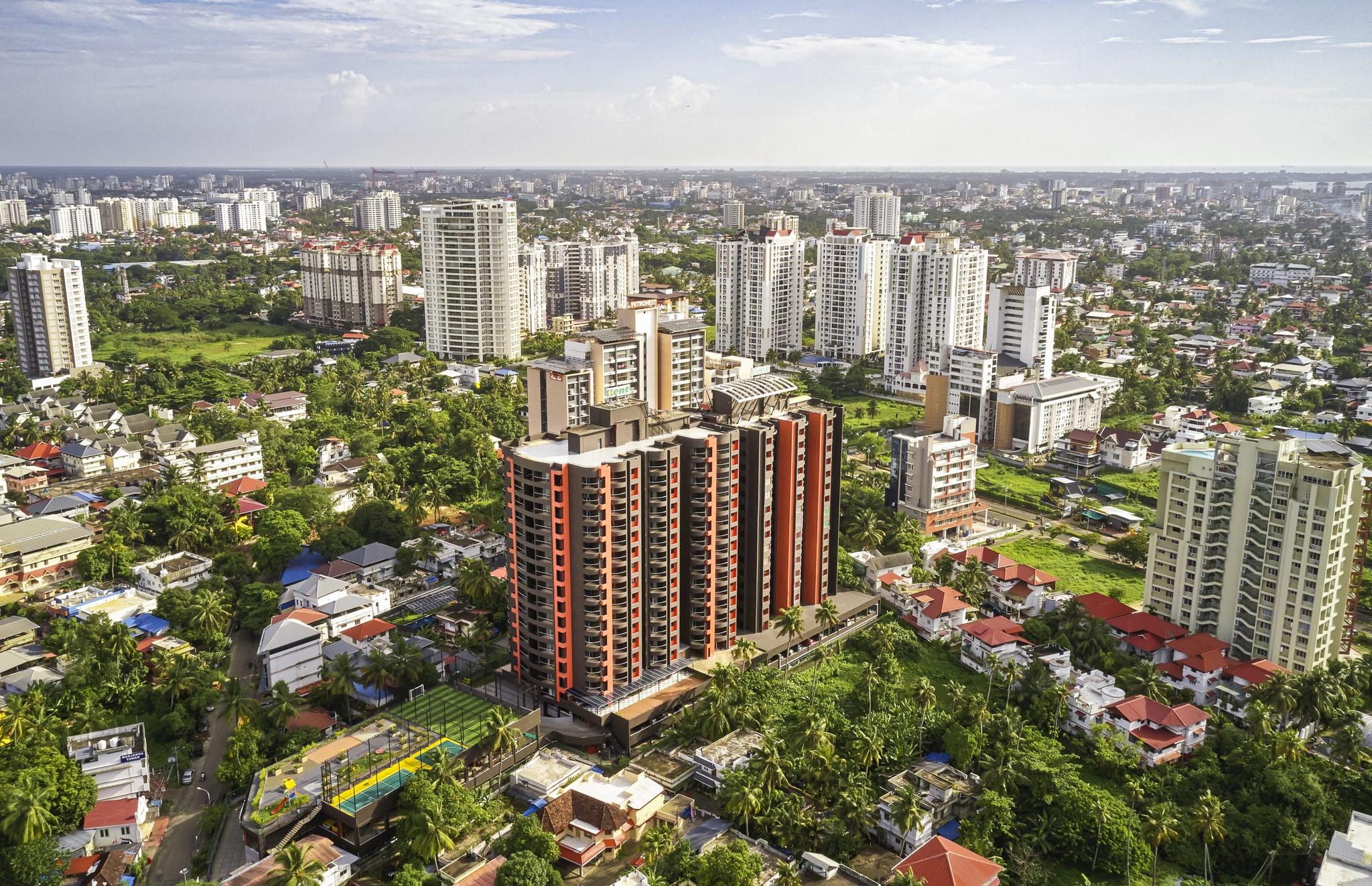
Urban Development You Can Monitor
Kochi has been growing steadily. With the rise of IT hubs, metro lines, and new infrastructure projects, areas that once seemed distant are now turning into residential hotspots. But how do you know which ones are truly worth investing in? Satellite imaging serves as a tool for monitoring urban expansion as it occurs in real time. It captures how nearby neighborhoods are developing, how traffic patterns are changing, and even how green spaces are being preserved or reduced. Instead of relying only on promises or predictions, you’re looking at real data, past and present. It helps you make more confident, informed decisions.
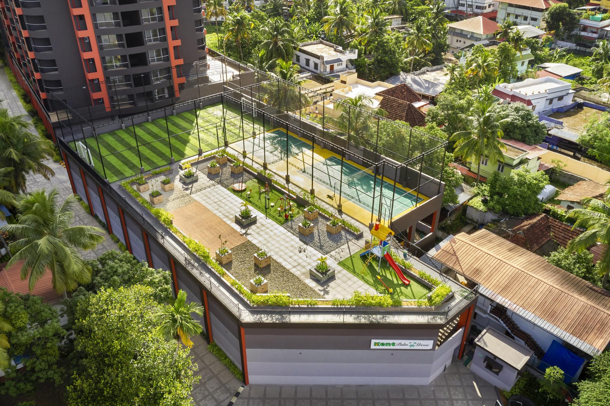
Better Planning Means Better Living
Good planning isn’t just about where to build, but how. With satellite mapping, architects and engineers can place apartment blocks to maximize ventilation, minimize heat, and take advantage of natural light. They can see how the surroundings affect wind flow or how shadows fall across the property. This is more than just technical terms. It results in residences that are cooler, brighter, and more energy efficient. For buyers, it’s peace of mind. Your builder isn’t guessing. They’re working with data that’s been tested and mapped from above.
Smart Land Choices are the Foundation of Disaster Readiness
Nobody wants to think about floods or extreme weather when they’re buying their dream home. However, the reality is that being prepared begins with the land itself. Satellite imaging helps identify at-risk zones to ensure that projects are not initially situated in dangerous locations. It doesn’t just help avoid problems, but it also contributes to design for resilience. When you realize that the apartment you are purchasing was developed with all these considerations in mind, it brings a level of confidence that cannot be replicated by images or brochures alone.
Conclusion
At Kent Constructions, we believe your home should be more than just well-designed. It should be well-placed. That kind of thinking starts long before the first site visit, sometimes even before the land is chosen. While technology like satellite imaging is changing how the industry approaches planning, our focus remains on making thoughtful, informed choices that serve our buyers for the long run. The next time you look at potential luxury apartments in Kochi, remember: smart homes begin with smart planning, because the right location makes all the difference.